
SALT CREEK WATERSHED
The Salt Creek watershed encompasses 152 square miles of highly urbanized land in western Cook and eastern DuPage Counties.
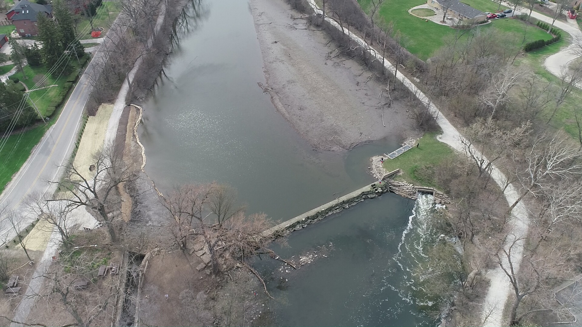
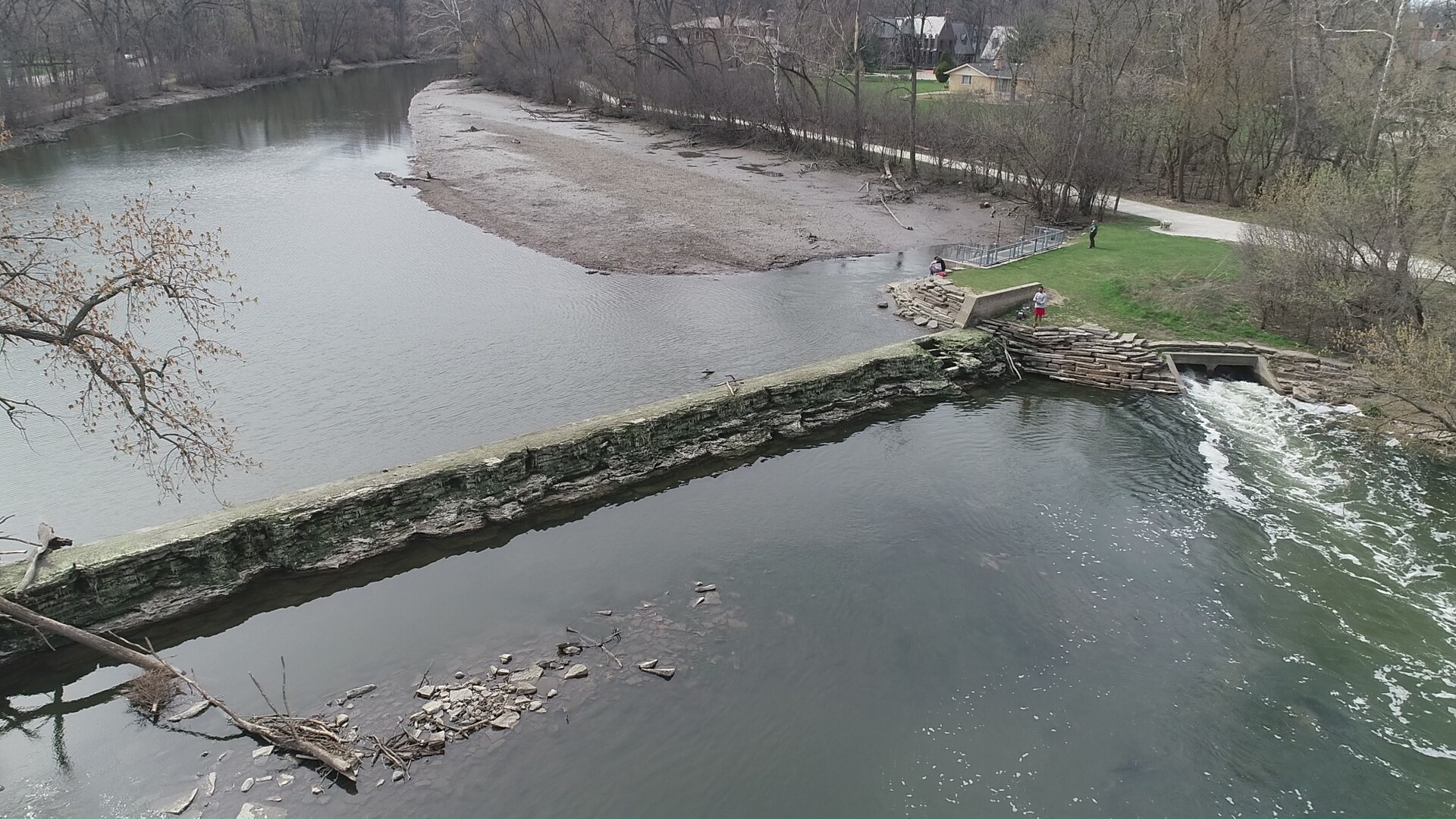
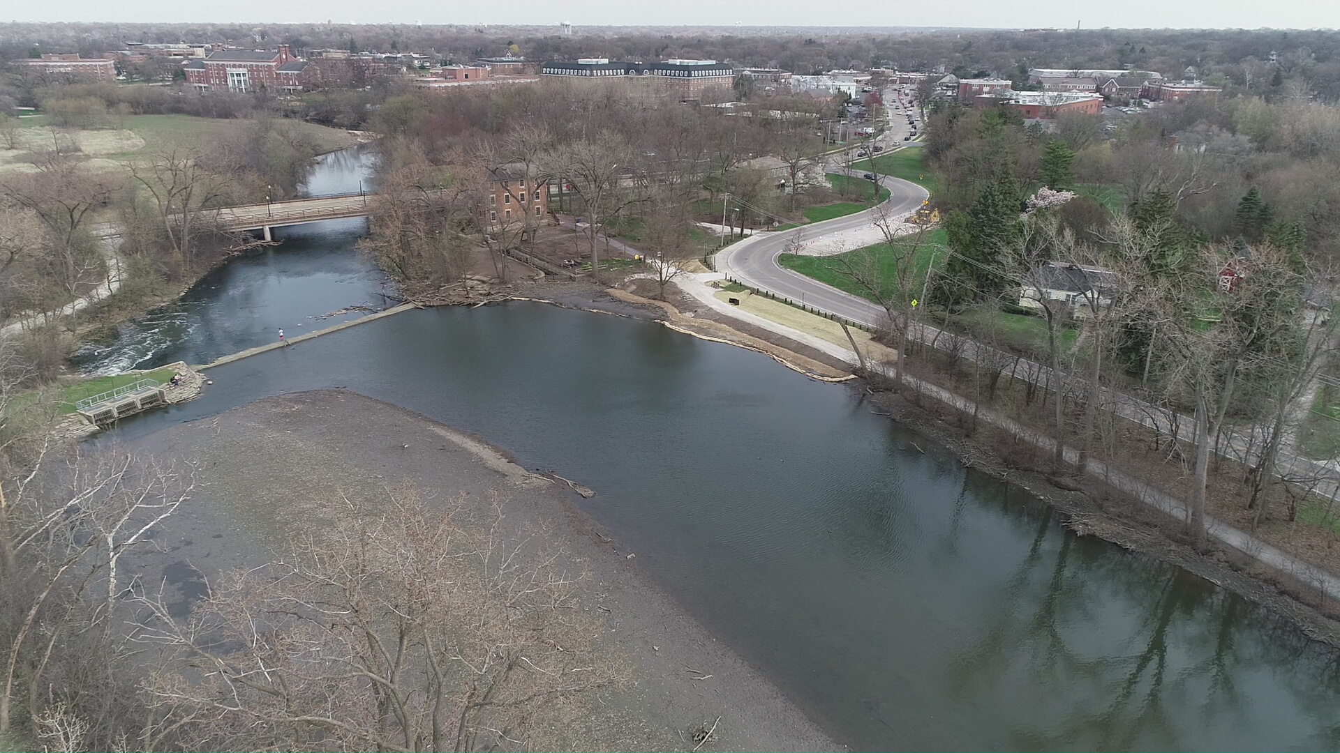
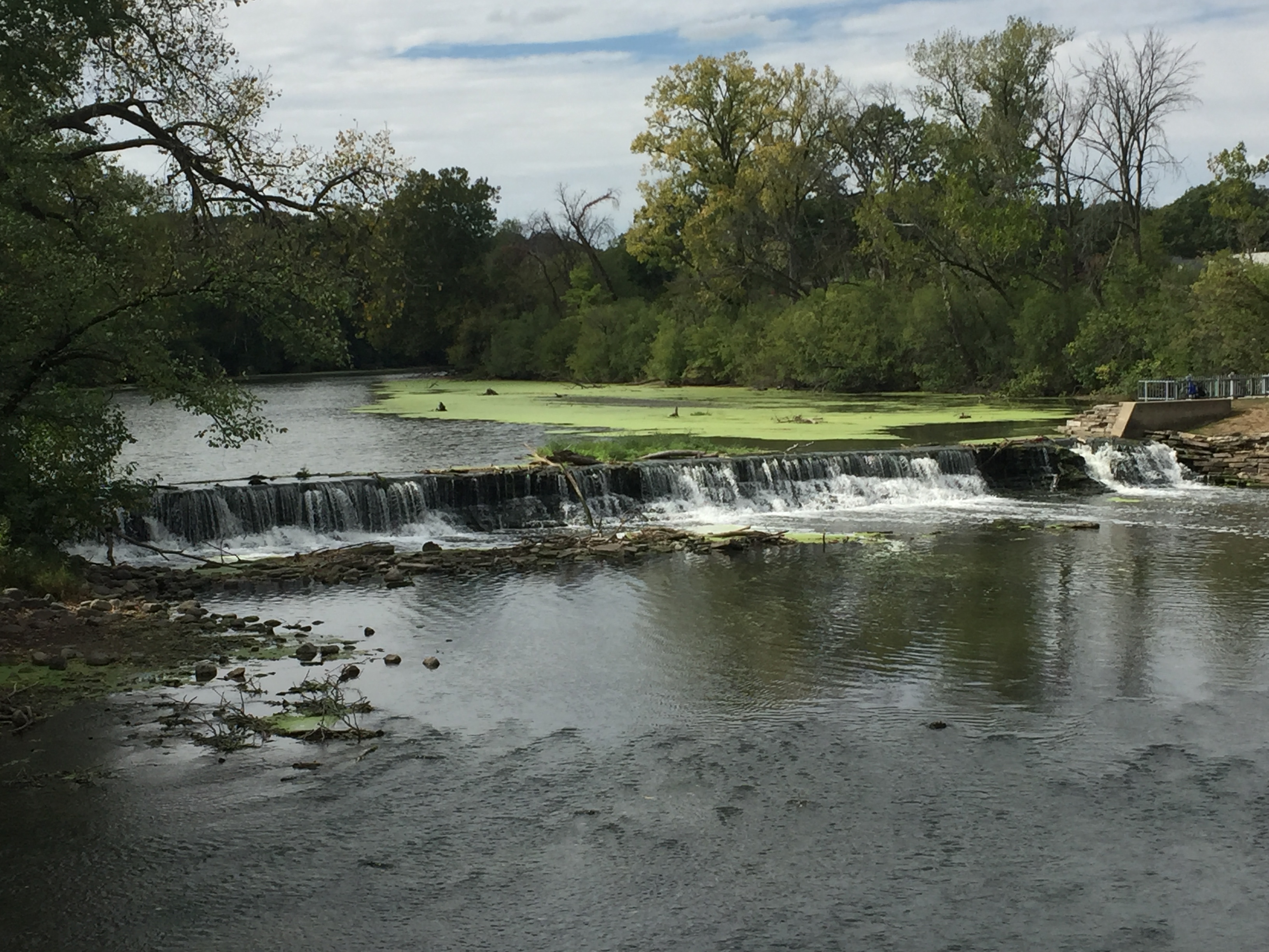
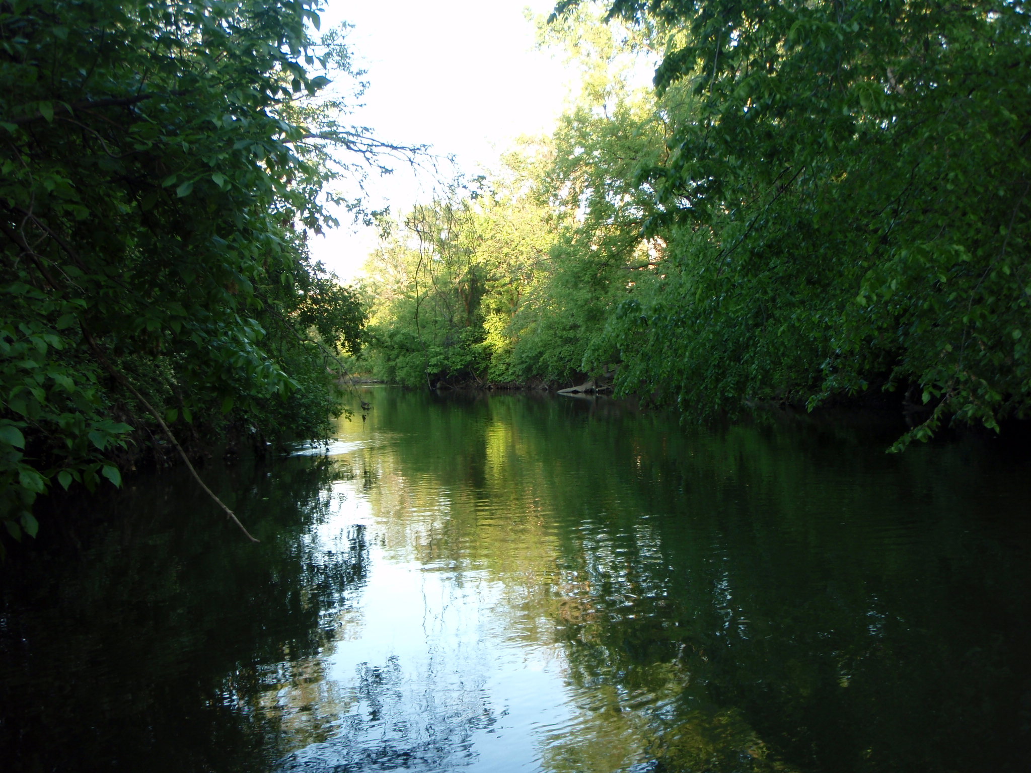
The Salt Creek watershed encompasses 152 square miles of highly urbanized land in western Cook and eastern DuPage Counties. It has a number of tributaries of which the largest are Addison Creek and Spring Brook. The main stem of Salt Creek is approximately 42 linear miles and has a rise of 225 feet. Salt Creek flows into the Des Plaines River in Lyons, which is tributary to the Illinois River. There are 40 municipalities located within the watershed and 11 publicly owned treatment plants discharge effluent to Salt Creek. Additionally, 6 combined sewer overflow outfalls are present.
Land uses in the Salt Creek watershed are shown in the land use summary table. Measured at the USGS station at Western Springs (station 05531500), annual mean flow for the river is 135 cfs (calculated from data for water years 1946-2004).
Unwanted: Hydrilla Invasive Aquatic Plant
Hydrilla (Hydrilla verticillata) is an invasive aquatic plant recently found in Ginger Creek, a tributary to Salt Creek. When hydrilla invades an area, ecologically important native aquatic plants are shaded out and displaced by hydrilla’s thick mats. Hydrilla could be very detrimental to local fishing, boating, and swimming along waterfront properties.
Treatment of this invasive species will take place in Spring 2025 through Fall 2025 on approximately 70 acres of Ginger Creek from the lake to the mouth of Salt Creek. Treatments will likely be conducted in future years as well. A pellet herbicide, SonarOne, will be the aquatic herbicide used. Sonar is one of the safest herbicides in the aquatics industry. When applied properly, there are no restrictions on fishing, swimming, and drinking by people, pets, and wildlife, even at maximum product applications rates immediately after application. The rates applied in Ginger Creek will be at rates significantly lower than maximum.
Following is additional information on Hydrilla and the Ginger Creek treatment plan:
Informational Webinar: April 2, 2025 Community Meeting Webinar
Webinar PowerPoint Slides: April 2, 2025 Community Meeting
Flyers: Ginger Creek Hydrilla Treatment and Be a Hero Transport Zero (How You Can Help)
Upper Salt Creek Watershed-Based Plan
The DRSCW with assistance from Hey and Associates and Geosyntec has completed the Section 319 Watershed Based Plan for the Upper Salt Creek Watershed. The Final Report and all additional requirements have been or will be submitted before the March 31, 2023 due date.
Funding for this project was provided in part from IEPA via a Section 604(b) grant. This plan follows the watershed-based planning guidelines established by the U.S Environmental Protection Agency, and was developed based on elements of the Lower Salt Creek Watershed based plan, allowing both reports to be used together for planning purposes. Completion of this project represents a major gain for water quality in Northeastern Illinois, and will enable organizations to apply for Section 319 grant funding for future non-point source pollution and restoration projects.