
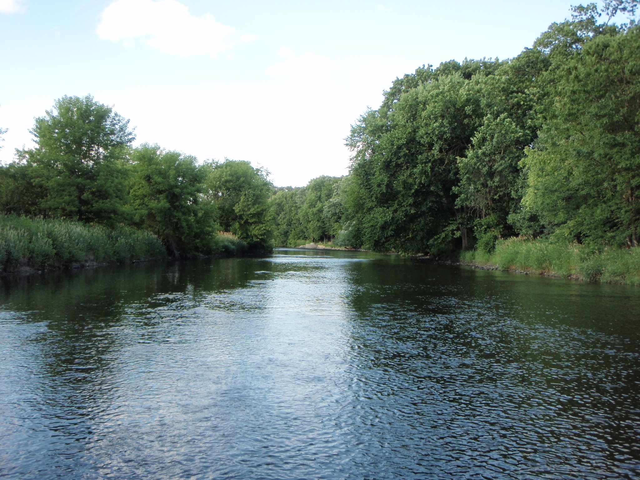
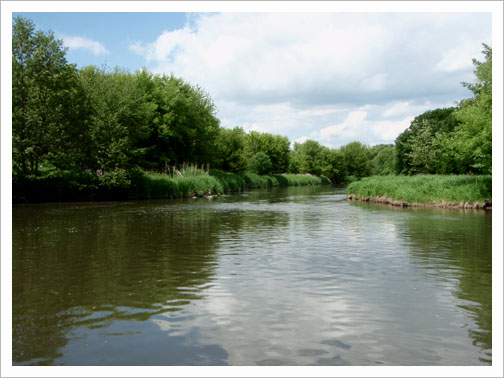
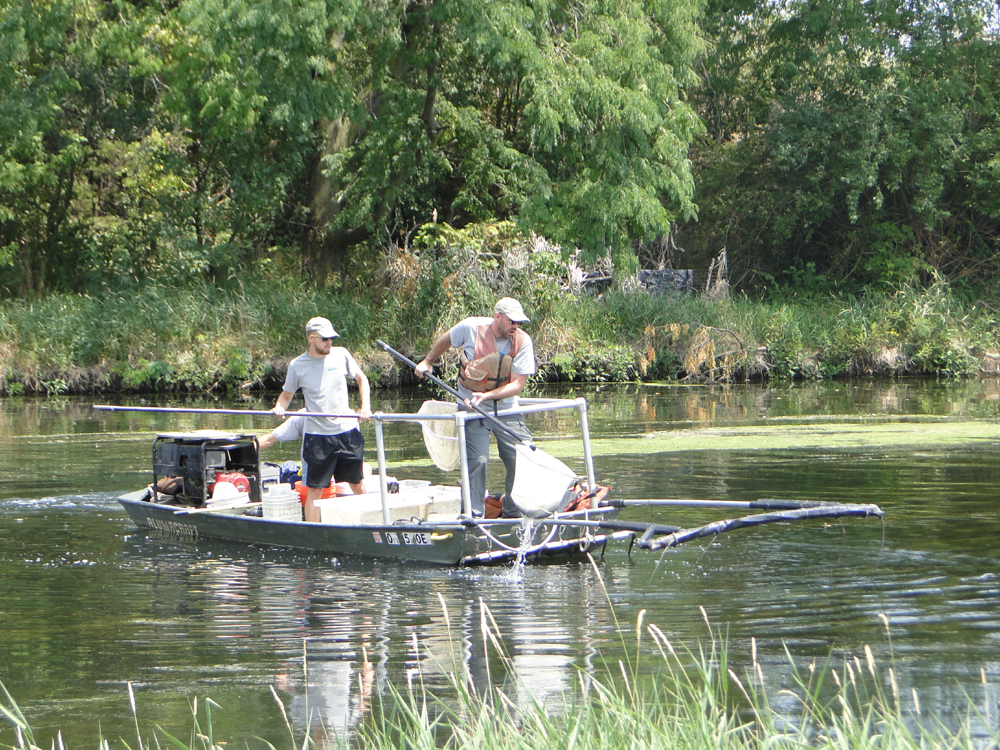
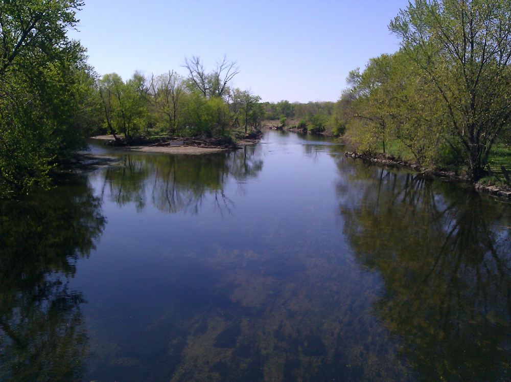
WEST BRANCH DUPAGE RIVER WATERSHED
The West Branch DuPage River watershed encompasses 128 square miles of DuPage, Cook and Northern Will Counties.
The West Branch DuPage River watershed encompasses 128 square miles of DuPage, Cook and Northern Will Counties. The main stem of the West Branch measures 34 linear miles in length. There are 21 municipalities in the watershed and 7 publicly owned treatment plants discharge to the West Branch.
There are no combined sewer overflows in the watershed. Residential and urban uses dominate and are summarized in the land use summary table. Annual Mean flow for the river at Naperville (USGS station 05540130) is 154 cfs (calculated from data for water years 1989 -2004.
- TMDL Report West Branch DuPage River 2004
- View Watershed Map
